In the July 10 issue of KT, Bob Grainger’s column presented a Kitchissippi mystery. Early aerial photographs of the Champlain Bridge showed two different approaches, and we asked readers for their thoughts on the issue. This response is from local historian, Dave Allston:
The double approach to the Champlain Bridge may be best explained by the segmented development of both Island Park Drive and the bridge.
On July 11, 1921, preliminary work by the Ottawa Improvement Commission (an early version of the NCC) began on what was first called the “West End Driveway,” to extend what is now the Queen Elizabeth Driveway, which then ended at the Experimental Farm, through Hampton Park and Champlain Park to the Ottawa River. This portion was first opened to traffic on October 14, 1923. The Driveway did not simply end where it does now, but over the next few years was actually extended westerly along the waterfront to almost Westboro Beach; a similar route as the current John A. Parkway.
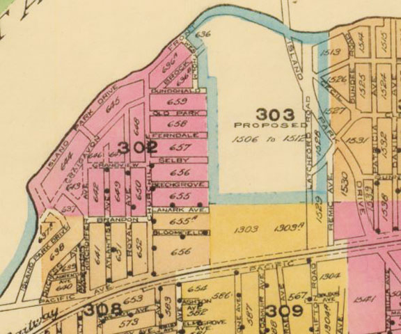
The O.I.C. plans also called for the Driveway (which had varying names in its early years such as O.I.C. Driveway, Byng Driveway, and Cowley Driveway, before Island Park Drive became its accepted name by the mid-20s) to extend over the three islands in the Ottawa River to allow for scenic views. However, this became a political issue through 1924 whether Ottawa should be paying for construction of this bridge. Development was slow, and it was not until 1927 when the bridge (which was actually three separate linked bridges) was completed to Bate Island. At noon on September 13, 1927, Champlain Bridge was officially opened by Governor General Lord Willingdon to much fanfare. However, as Bob’s photo showed, the bridge connected to the Driveway mid-stretch, thus it created the hard right-angle turn for motorists to access the bridge.
By 1927, it had already been decided that it made sense to complete the bridge all the way to the Quebec side. A Montreal firm was contracted to complete the long span, which began on October 10, 1927, after a long delay due to high waters.
The Ottawa Journal wrote on October 15, 1927 that the “last span of the bridge work will enable motorists to pass over the Island Park Drive and across the bridges now linking up Cunningham and Riopelle Islands, and then across to the Quebec side…” It is evident that engineers realized that with the much heavier traffic that could be expected with the newly decided on full-span bridge to the Quebec side, combined with the significant growth west Ottawa was experiencing during the booming 20s and the increases in automotive technology producing faster and more affordable cars, that a new, more functional approach was required. Thus a new bridge approach/dismount was built to go overtop the Island Park Drive extension, run a little to the west of the previous Island Park route, and rejoin it near where Clearview intersects, to create the new Island Park Drive route we know today.
The Champlain Bridge and this new approach was completed a year later, and was officially opened to traffic on October 22 1928. There were traffic tie-ups afterwards, because everyone wanted to try out the new bridge.
Do you have any tales to tell about the area? If so we’d love to hear them! Send your email to stories@kitchissippi.com.